
Geological & Earth Sciences
Oceanography & Sea-Level Rise Physical Tracking Lab
Tracking coastal change, ocean dynamics, and physical sea-level signals to strengthen humanitarian planning, climate resilience, and evidence-based response.
Mission
Physical Ocean Intelligence
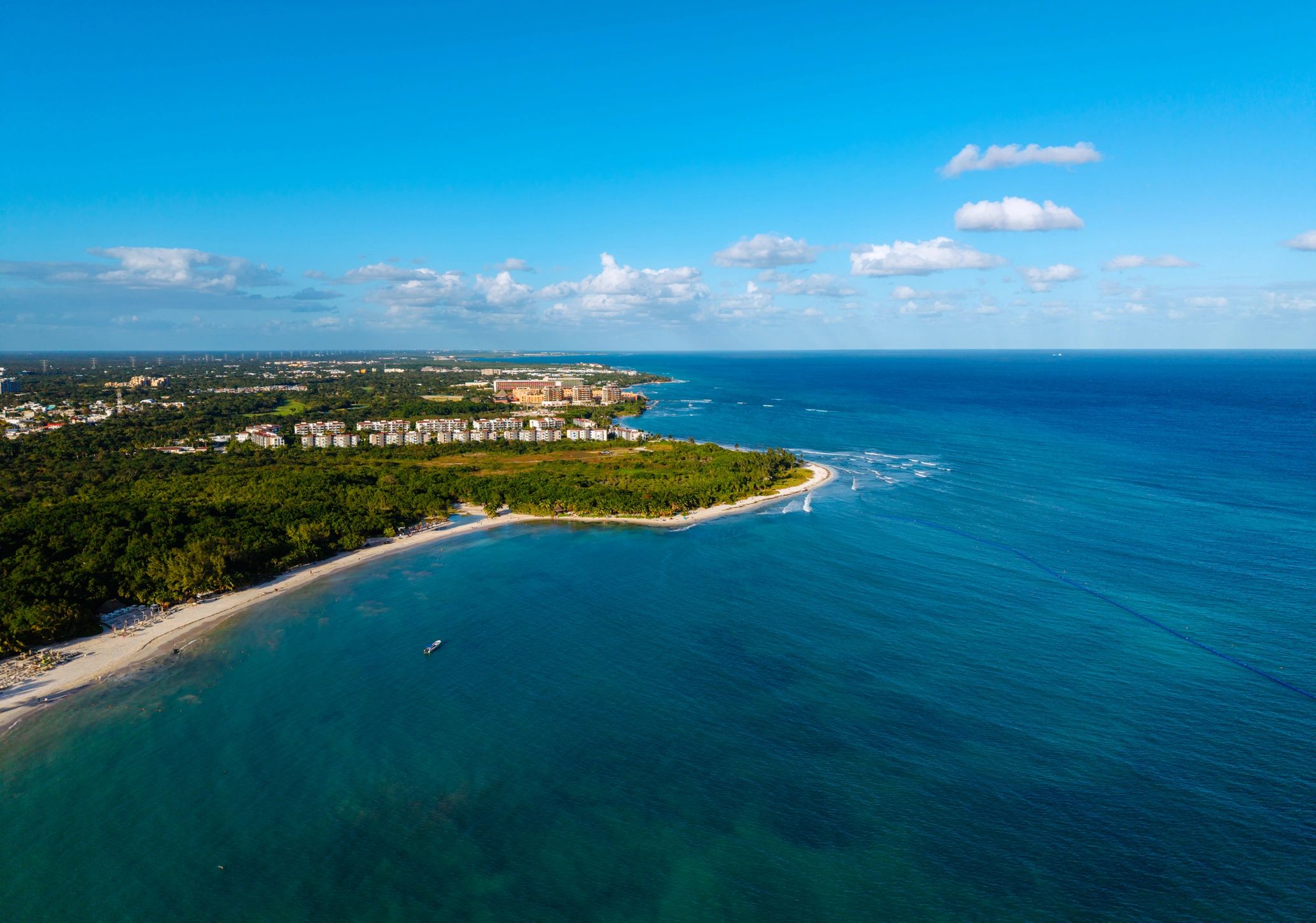
This lab studies tides, shoreline retreat, storm surge behavior, coastal inundation pathways, and long-term sea-level trends that affect vulnerable populations and critical infrastructure.
Its work supports field-ready interpretation of oceanographic data, helping Pacific 7.0 International connect environmental measurement with humanitarian forecasting, resilience planning, and operational decision support.

Focus Areas
Core Lab Functions
Coastal Change Mapping
Monitors erosion, shoreline migration, and inundation exposure across high-risk coastal zones.
Sea-Level Signal Analysis
Interprets tidal, thermal, and physical ocean indicators to understand near-term and long-range change.
Response Planning Support
Translates marine and coastal data into actionable insight for resilience, relocation, and crisis planning.
Field-Relevant Monitoring
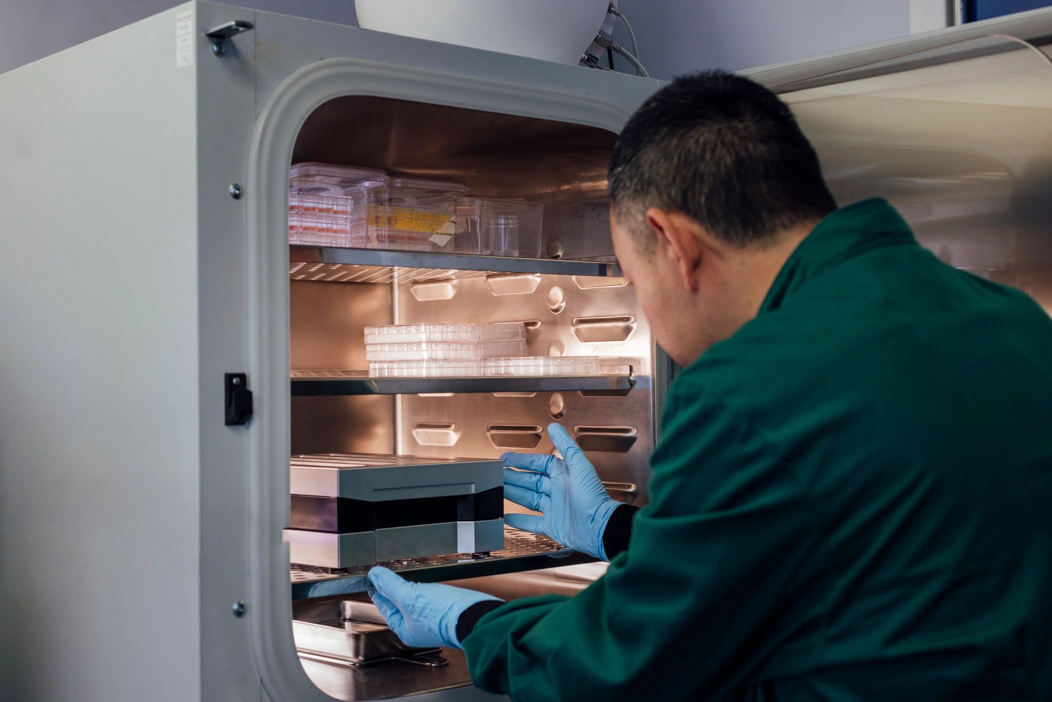
The lab integrates coastal observation, physical oceanography, and climate-risk interpretation to support communities facing sea encroachment, saltwater intrusion, and infrastructure stress.
By pairing environmental measurement with operational context, the unit helps inform preparedness strategies, humanitarian logistics, and long-horizon adaptation priorities in exposed maritime regions.
Support
Back Climate Risk Research
Help expand science-informed humanitarian research that improves coastal risk awareness, resilience planning, and global crisis response.