Geological & Earth Sciences
Soil Science, Geomorphology & Landslide Mechanics Team
Advancing terrain intelligence, slope-failure analysis, and field-ready earth systems research to reduce landslide risk, protect communities, and inform resilient humanitarian operations.
Mission
Field Science for Unstable Terrain
This team studies soils, landforms, erosion pathways, and slope mechanics to understand how terrain fails under rainfall, seismic stress, deforestation, and rapid land-use change. Its work supports hazard mapping, pre-disaster planning, and operational decision-making in fragile environments.
Hazard Mapping
Builds terrain models and landslide susceptibility assessments for exposed corridors, settlements, and critical access routes.
Operational Insight
Translates geoscience into actionable guidance for humanitarian logistics, site selection, and infrastructure resilience.
Capabilities
Core Research Areas
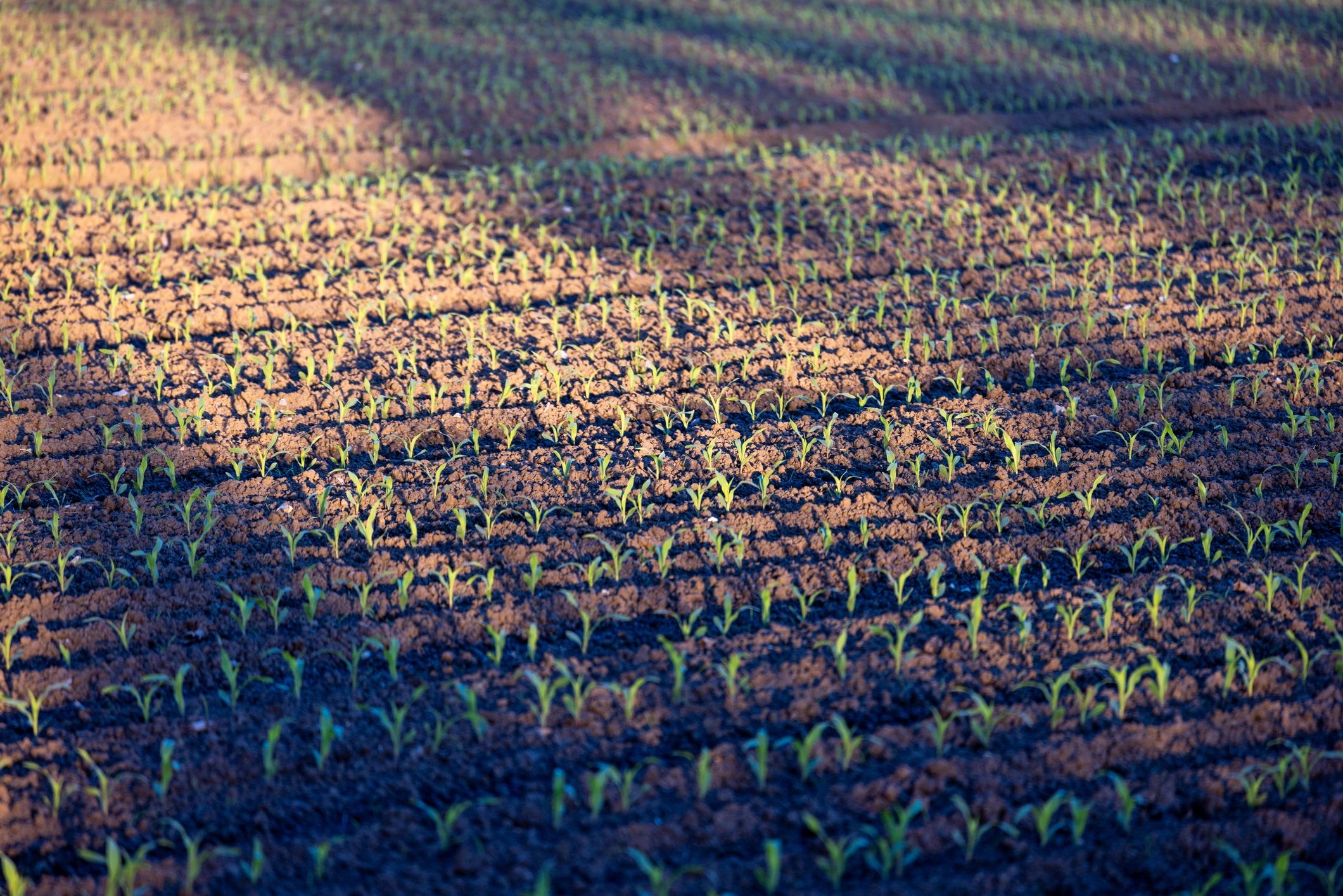
Soil Characterization
Analyzes soil structure, drainage behavior, compaction, and saturation thresholds that influence instability and ground failure.
Geomorphic Assessment
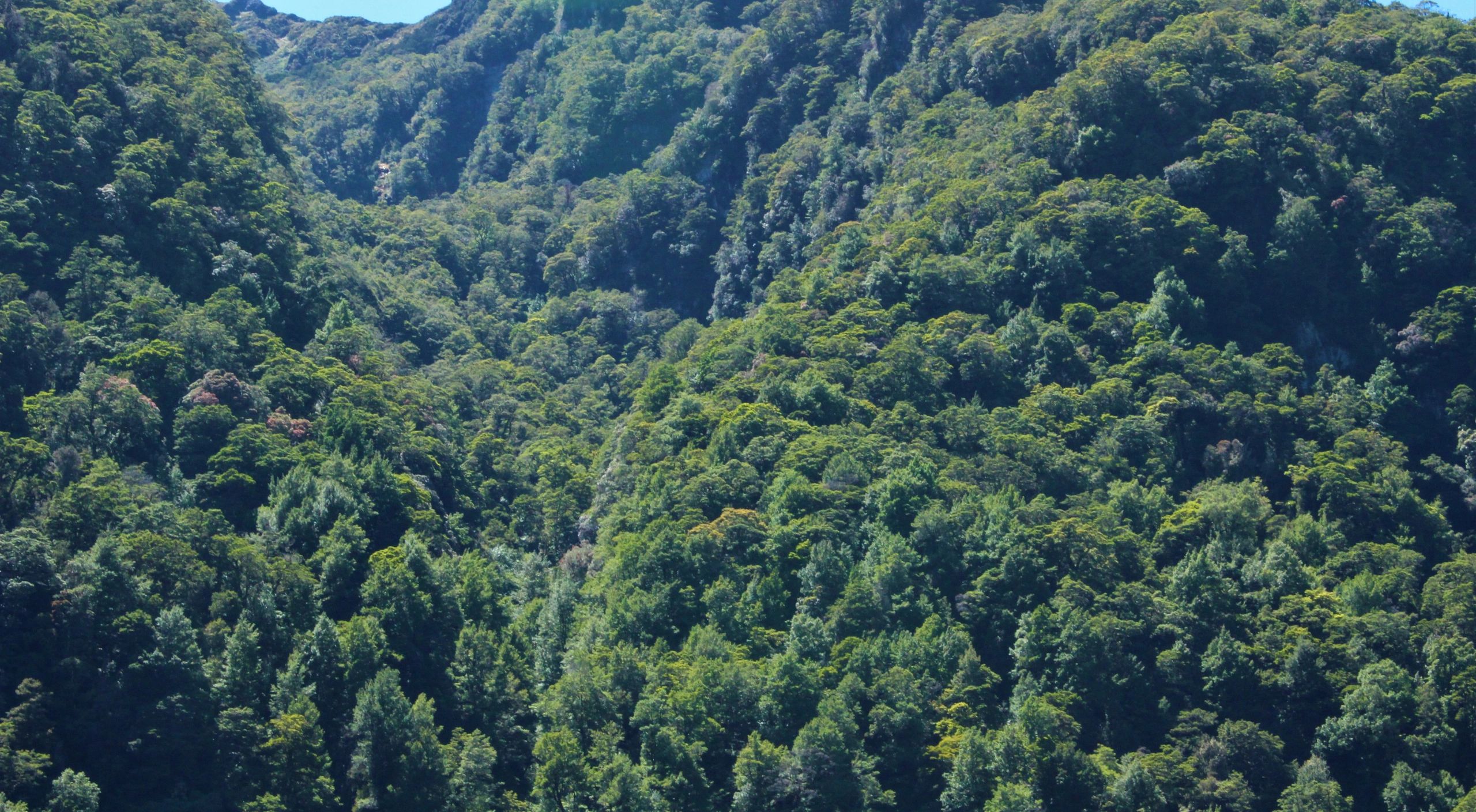
Examines erosion, channel migration, debris-flow pathways, and landscape change across high-risk watersheds and slopes.
Landslide Mechanics
Evaluates triggering conditions, slope movement patterns, and failure propagation to support mitigation planning and rapid field interpretation.
Application
From Terrain Data to Safer Decisions
The team supports landslide exposure screening, route-risk analysis, field reconnaissance priorities, and evidence-based recommendations for operations in mountainous, flood-affected, and rapidly degraded landscapes.
Its work strengthens preparedness for displacement crises, infrastructure disruption, and compound hazards where unstable ground can isolate communities and delay life-saving response.