

Division of Geological & Earth Sciences
Atmospheric Dynamics & Pressure System Modeling Unit
Modeling pressure systems, storm evolution, and atmospheric instability to strengthen early warning, field planning, and climate-risk decision support.
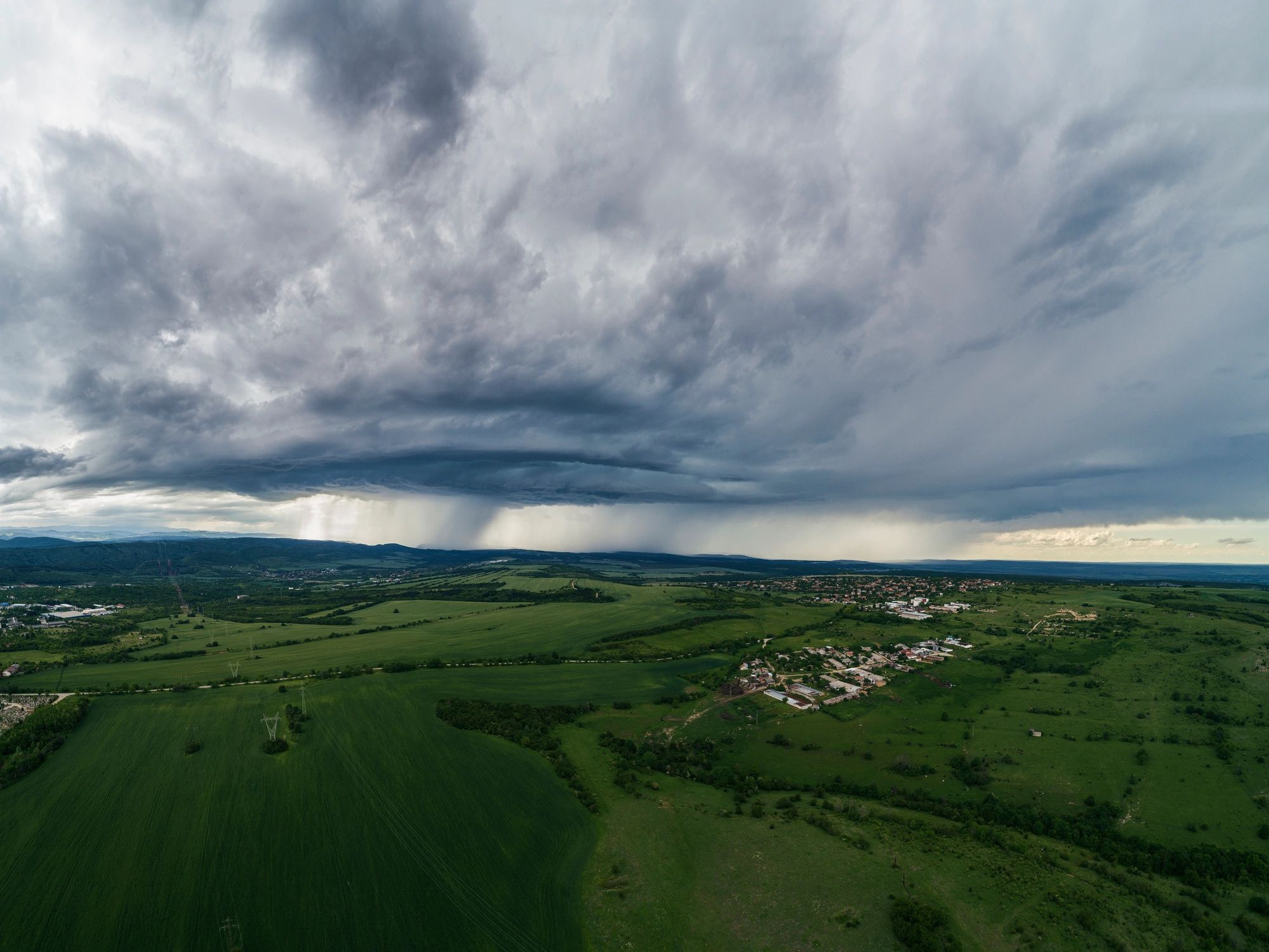
Mission
Forecasting for crisis response
The unit translates atmospheric science into operational insight for humanitarian planning, environmental monitoring, and disaster-readiness missions. It studies pressure gradients, circulation patterns, boundary-layer behavior, and storm-track evolution to help teams anticipate changing conditions before they escalate into field risk.
Pressure-field analysis
Tracks synoptic and mesoscale pressure behavior to identify instability, frontal interaction, and severe-weather potential.
Storm-path modeling
Builds scenario-based models for cyclone motion, wind-field expansion, and rainfall concentration across vulnerable regions.
Capabilities
Core modeling priorities
Severe weather outlooks
Produces operational assessments for storm development, rapid intensification, wind exposure, and rainfall-driven disruption.
Atmospheric data fusion
Integrates satellite imagery, pressure observations, and regional forecast inputs to improve situational awareness.
Field decision support
Converts technical model outputs into concise planning guidance for deployment timing, route risk, and mission continuity.