
Earth Sciences Unit
Geophysics & Tectonic Plate Monitoring Laboratory
Monitoring seismic systems, crustal movement, and fault-zone instability to strengthen humanitarian preparedness, infrastructure resilience, and science-led crisis response.

Laboratory Focus
Field Intelligence For Earth Systems
The laboratory integrates seismic interpretation, tectonic mapping, and geospatial analysis to identify geohazards before they cascade into humanitarian emergencies. Its work supports early warning, terrain risk assessment, and evidence-based planning across vulnerable regions.
Seismic surveillance and event interpretation for active fault systems.
Continuous analysis of ground-motion indicators, rupture signatures, and regional seismic patterns.
Crustal deformation and plate-boundary monitoring using remote sensing and geospatial datasets.
Cross-referencing terrain change, displacement trends, and structural stress indicators to improve situational awareness.
Core Capabilities
Operational Research Areas
This laboratory translates geophysical data into actionable insight for risk reduction, field planning, and resilient infrastructure strategy.
Fault Mapping
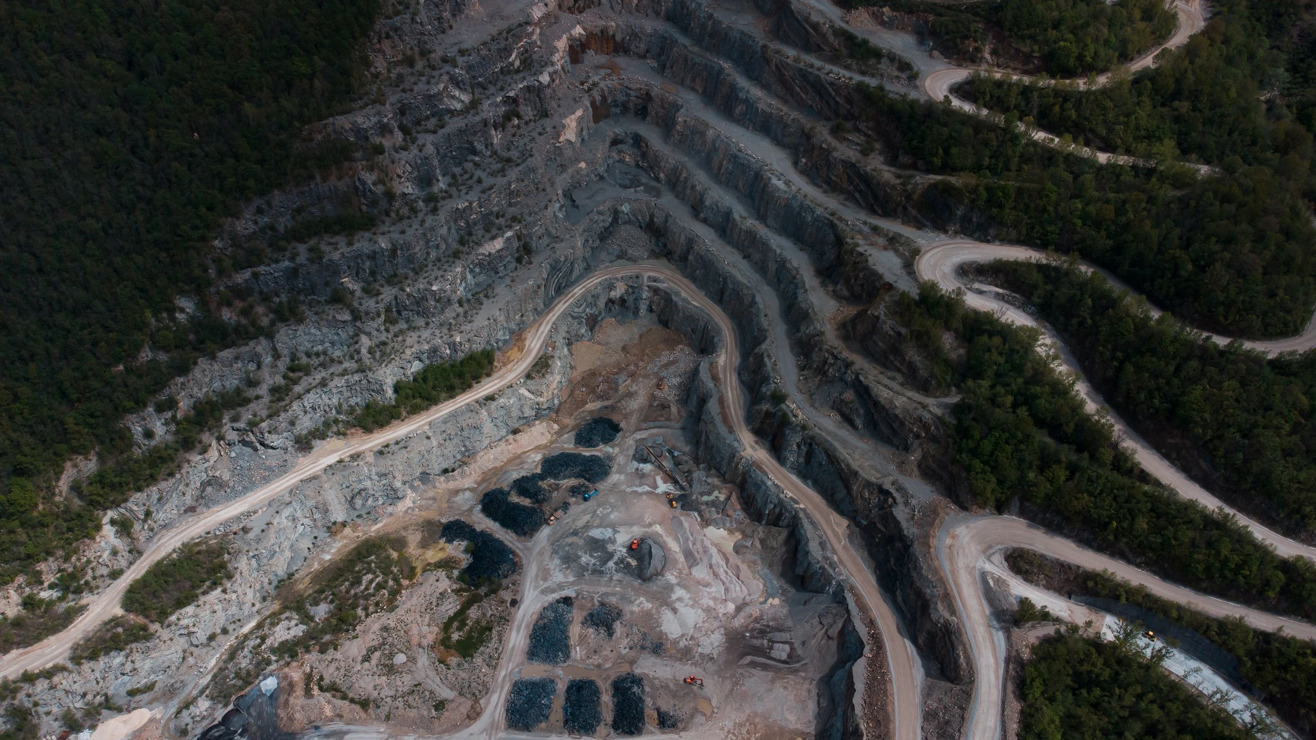
Mapping active faults, fracture zones, and deformation corridors to support hazard modeling and land-use awareness.

Seismic Analytics
Interpreting earthquake sequences, subsurface signals, and regional event clusters to strengthen early warning frameworks.
Terrain Intelligence
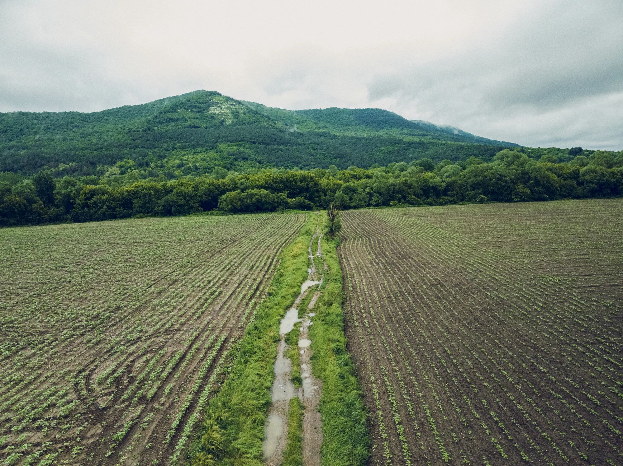
Combining remote sensing, elevation models, and field observations to assess unstable ground and tectonic exposure.